Key Points:
- UK snow alerts include amber warnings predicting 10–40 cm of snow and blizzards in northern and eastern Scotland.
- Commuting and school attendance may be affected, prompting remote learning or schedule changes.
- Arctic cold keeps temperatures below freezing, creating ongoing safety and travel hazards.
The Met Office issued three amber UK snow alerts on Thursday as heavy snow and extreme cold triggered disruption risks across parts of the UK during the opening days of January.
The warnings cover northern and eastern Scotland and come as Arctic air settles across much of Britain, bringing prolonged cold, snowfall, and hazardous conditions. Forecasters say the alerts reflect growing risks to transport, power supplies, and daily routines, with impacts expected to continue into the coming week.
Snow and Ice Create Widespread Disruption Risks
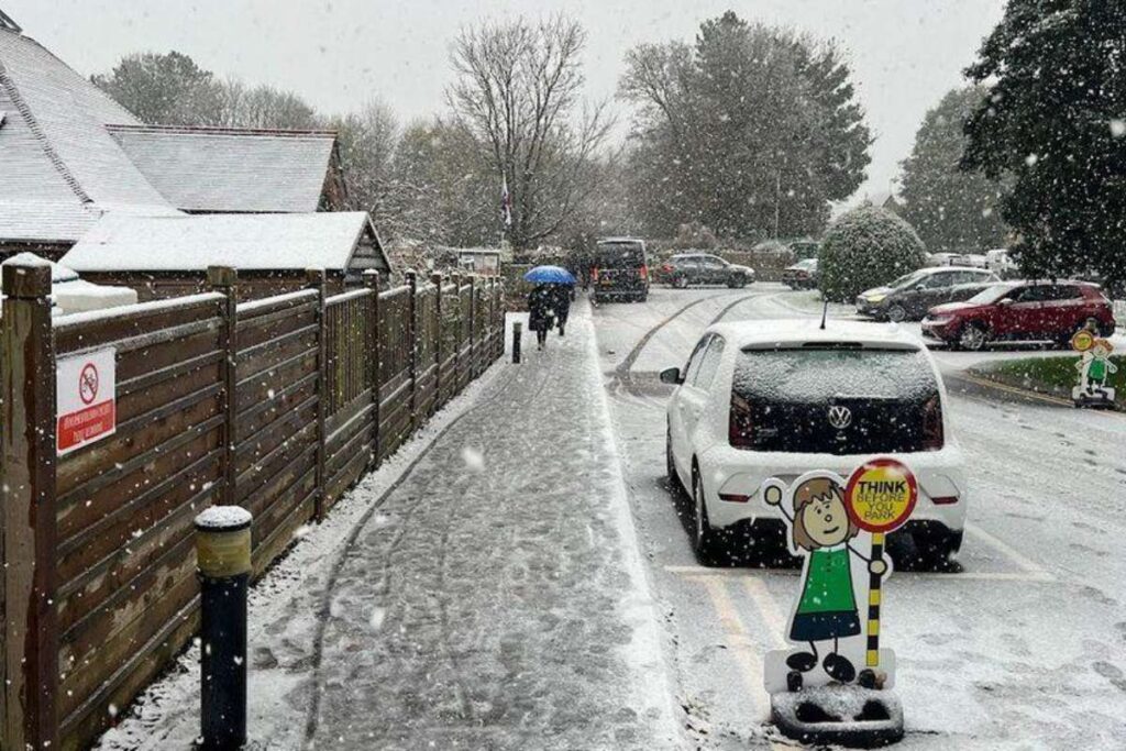
Amber UK snow alerts for snow remain in force until midday, with forecasts indicating 10 to 20 centimetres of snow at lower elevations and up to 30 to 40 centimetres on higher ground. Strong winds in exposed areas could lead to blizzard conditions, reducing visibility and increasing travel dangers.
Snow has already disrupted road and rail services in parts of northern Scotland. The Met Office warned that power cuts are possible, along with communities becoming temporarily cut off and vehicles stranded. These risks are especially relevant for schools, colleges, and universities in affected regions, where attendance and transport access may be impacted.
Alongside the amber alerts, yellow UK snow alerts for snow and ice stretch across large areas of Scotland, Northern Ireland, Wales, and parts of central and southern England. Some of these warnings are expected to last more than 48 hours, increasing the likelihood of ongoing disruption rather than a short-lived event.
For students and teachers, the combination of snow accumulation and widespread ice presents challenges for commuting and campus operations. Icy conditions on pavements and roads may make travel unsafe, particularly during early morning hours when temperatures are lowest.
Prolonged Cold Raises Planning Concerns
The Met Office reported that Arctic air now covers most of the UK, driving temperatures well below seasonal averages. Widespread frost and ice are expected, with snow showers becoming more frequent in northern and some central areas. In several locations, snow is forecast to settle and persist rather than melt during the day.
Overnight temperatures could fall into double digits below zero in some rural areas, while daytime temperatures may struggle to rise above freezing. These conditions increase the risks of frozen pipes, heating system strain, and unsafe outdoor conditions for school activities.
The Met Office indicated that the cold spell is likely to continue well into next week, suggesting that further UK snow alerts may be issued. This outlook encourages schools and education authorities to plan for possible schedule changes, remote learning arrangements, or safety adjustments.
Teachers may need to adapt lesson plans if weather conditions limit attendance or disrupt transport. Students are advised to allow extra time for travel and remain alert to updates from schools and local authorities. Universities and colleges with residential students are also monitoring conditions closely to manage campus safety.
Forecasters stressed the importance of staying informed as conditions evolve. UK snow alerts may change as snowfall patterns shift, and local impacts can vary significantly over short distances.
As wintry hazards persist, the current weather highlights the need for preparedness during extended cold spells. For the education community, advance planning, clear communication, and attention to safety remain central as winter conditions continue to affect daily routines across the UK.
Visit Future Education Magazine For The Most Recent Information.